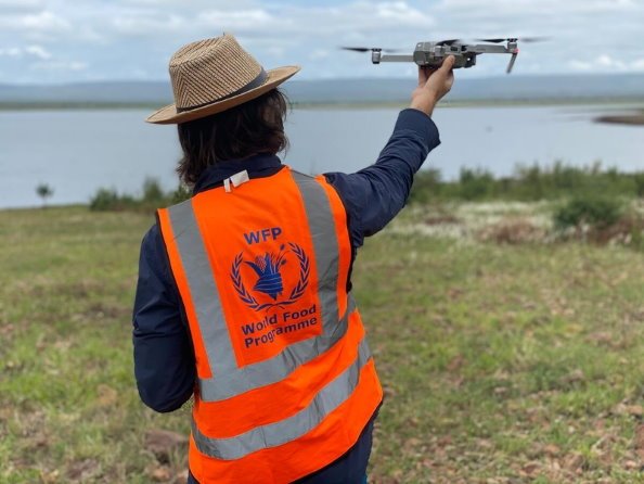
The United Nations World Food Programme (WFP) with support from the UK Foreign, Commonwealth and Development Office (FCDO) is stepping up global co-operation on the use of humanitarian drones, which are a game-changer for fast, accurate, disaster impact assessment and response. With growing threats from famine and climate change, it is hoped a new online platform will help respond to the challenges ahead, as currently being demonstrated in the response to tropical storm Eloise in Mozambique.
WFP and Mozambique government first deployed drones in the aftermath of tropical cyclones Idai in 2019, where thousands of aerial images were captured, creating high resolution maps of damaged areas. The time needed to map the hardest-hit areas was cut in half from roughly one week to two or three days. This experience was crucial in rapidly responding to Eloise, just over a week ago.
“Technology and innovation are great enablers in WFP‘s work to tackle famine and climate change.
With responsible handling, drones can help monitor floods, damage and food security, or provide communications connectivity, but we need to urgently step up global cooperation on every aspect of their development and deployment to do this properly,” says Enrica Porcari, Chief Information Officer and Director of Technology for WFP.
Offering low-operating costs and rapid deployment, even in difficult weather conditions, the responsible use of drone technology in humanitarian work requires careful evaluation, cooperation and protocols that focus as much on data protection and public trust as they do on aviation safety.
The UK Government announced multi-year support to WFP in 2019 to coordinate, document and scale drone technology for the humanitarian community. This includes building a dedicated global drones team to support country operations and developing global best practice with the help of technical working groups bringing together drone experts from humanitarian organizations, the private sector and academia.
Source: WFP

